Vertel uw vrienden over dit artikel:
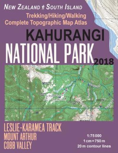
Kahurangi National Park Trekking / Hiking / Walking Complete Topographic Map Atlas Leslie-Karamea Track Mount Arthur New Zealand South Island 1
Sergio Mazitto
Besteld in een afgelegen magazijn
Onze klanten zeggen:

Kahurangi National Park Trekking / Hiking / Walking Complete Topographic Map Atlas Leslie-Karamea Track Mount Arthur New Zealand South Island 1
Sergio Mazitto
Updated 2018 edition. Complete map of the Kahurangi National Park covering great walks and wonderful tramping/hiking trails in the area. Detailed topographic map 1:75.000 for hiking and trekking, printed as an atlas book (with overlapping pages).
Anatoki Peaks and Aorere Peak, Historic Kill Devil Pack Tracks: beech forest, dramatic landscapes, rock debris dam at Lake Stanley; Aorere and Cobb valleys in Golden Bay; Wekakura Creek with a swingbridge, Heaphy Track to the West Coast, Biggs Tops, Leslie-Karamea Track, Matiri Valley and 1000 Acre Plateau tramping tracks, Lake Matiri, Mt Owen - the highest peak in Kahurangi National Park, Wangapeka Track.
20 meter contour lines, road network, trails & paths, transportation, food, campsites, shelters, guest houses & hotels. Mercator projection with both UTM and WGS84 coordinate grids.
The map scale of 1:75000 (1 cm = 750 meters) provides a wealth of detail while keeping low the weight of the atlas itself. The large page format of 8.5x11in minimizes page count and along with an overlapping map design allows for comfortable navigation.
The details included in the topographic maps of this atlas were specifically selected to be useful for trekkers, hikers and walkers of all interests, and make it easy to plan and enjoy both short excursions and hikes as well as long multi-day adventures along the main marked routes and/or adjacent trails and paths, which are also shown on the maps.
With this ultralight atlas you will always have a detailed, reliable, information-rich, battery-independent, shatter-proof map for your adventure.
| Media | Boeken Paperback Book (Boek met zachte kaft en gelijmde rug) |
| Vrijgegeven | 9 januari 2018 |
| ISBN13 | 9781983618789 |
| Uitgevers | Createspace Independent Publishing Platf |
| Pagina's | 44 |
| Afmetingen | 216 × 279 × 3 mm · 167 g |
| Taal en grammatica | Engels |