
Vertel uw vrienden over dit artikel:
International Travel Maps: France North Rail & Bike 1e uitgave
ITM Publications
Onze klanten zeggen:

International Travel Maps: France North Rail & Bike 1e uitgave
ITM Publications
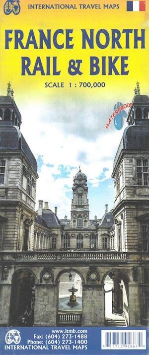
The northern half of France is fairly flat, making it an ideal area for biking. However, it is also a rather large area, covering several provinces of France, so we have combined rail access with biking. All the motorways and main highways are also shown, so this map is ideal for someone wanting to drive to, say, Brittany, and bike during their stay in the Breton peninsula. Side 1 covers Normandy, Brittany, the Loire, and the Poitou region west of Paris. Side 2 covers all of northern France from Calais to Strasbourg and south to Lyon. Small adjacent portions of Switzerland and Italy are included. A Top 9 Attractions list is included. France South was published a little while ago, so the entire country is now available in detail. The map is printed on waterproof stone paper for durability. Legend Includes: Roads by classification, Rivers and Lakes, National Park, Airports, Points of Interests, Highways, Main Roads, Zoos, Fishing, and much more...
| Media | Boeken Hardcover Book (Boek met harde rug en kaft) |
| Vrijgegeven | 31 januari 2021 |
| ISBN13 | 9781771292863 |
| Uitgevers | ITMB publishing |
| Genre | Maps & Guides |
| Afmetingen | 138 g |
| Taal en grammatica | Engels |
Meer door ITM Publications


Anderen hebben ook gekocht
![Cover for James Joyce · Ulysses (Bound Book) [1e uitgave] [Indbundet] (2014)](https://imusic.b-cdn.net/images/item/original/584/9788763814584.jpg?james-joyce-2014-ulysses-bound-book&class=scaled&v=1412192648)
![Cover for G.W.F. Hegel · AFTRYK: Dialetik (Sewn Spine Book) [1e uitgave] (2022)](https://imusic.b-cdn.net/images/item/original/800/9788793535800.jpg?g-w-f-hegel-2022-aftryk-dialetik-sewn-spine-book&class=scaled&v=1661237403)
![Cover for Den Grønne Ungdomsbevægelse · En Grøn Retfærdig Fremtid (Sewn Spine Book) [1e uitgave] (2022)](https://imusic.b-cdn.net/images/item/original/000/9788794406000.jpg?den-groenne-ungdomsbevaegelse-2022-en-groen-retfaerdig-fremtid-sewn-spine-book&class=scaled&v=1670182722)
![Cover for Serge Hutin · Visdomsbøgerne: Gnostikerne (Sewn Spine Book) [1e uitgave] (1991)](https://imusic-static.b-cdn.net/images/missing-tall.png)
![Cover for Ole Grünbaum · Tusind og en nats samtaler (Sewn Spine Book) [1e uitgave] (2016)](https://imusic.b-cdn.net/images/item/original/152/9788779733152.jpg?ole-grunbaum-2016-tusind-og-en-nats-samtaler-sewn-spine-book&class=scaled&v=1463826370)

![Cover for Karina Villumsen · Det Mælkefri Køkken: Mælkefri Chokolade (Paperback Book) [1e uitgave] (2014)](https://imusic.b-cdn.net/images/item/original/092/9788799648092.jpg?karina-villumsen-2014-det-maelkefri-koekken-maelkefri-chokolade-paperback-book&class=scaled&v=1417735841)
Bekijk alles van ITM Publications ( bijv. Hardcover Book , Print , Book , Map en Sewn Spine Book )